
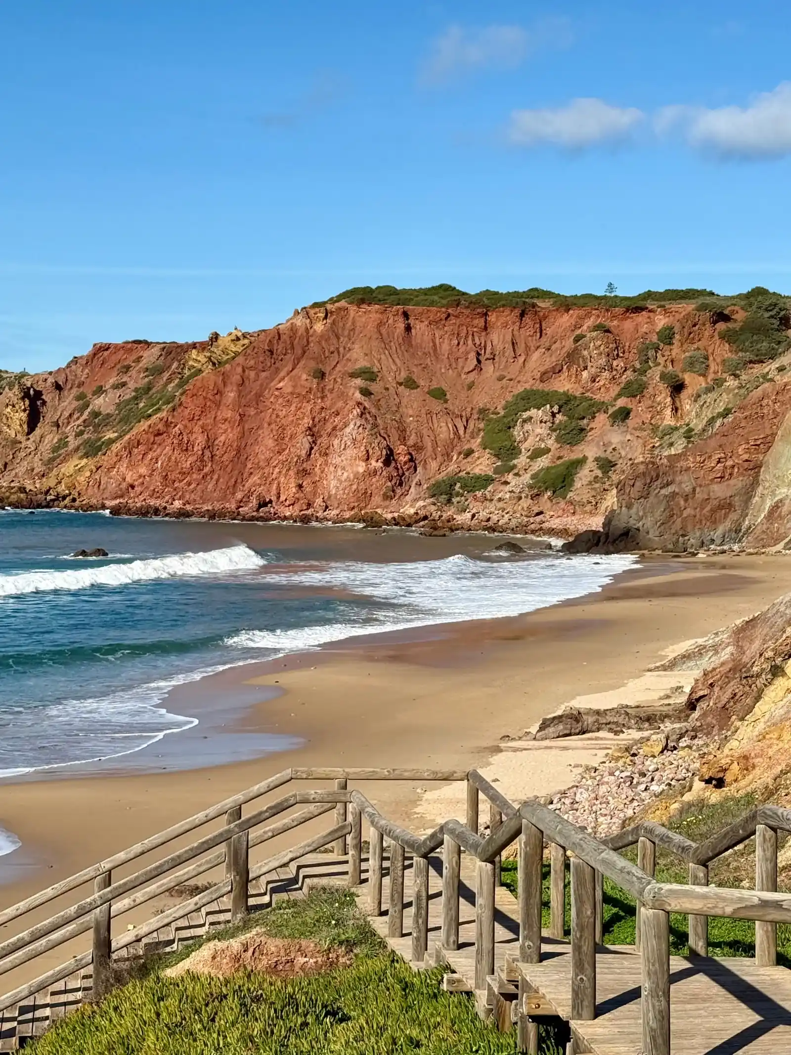
Around Sagres and Vila do Bispo you'll find some of the most beautiful beaches in the Algarve – and from our guesthouse you can reach them on two coasts: wide, wild Atlantic beaches below high cliffs to the west, more sheltered bays to the south. Watch out for waves and currents when swimming, especially on the west coast. If you want to surf, everything else is on our surf page.
West coast
Praia da Bordeira
Our favourite beach: wide dunes in front of the beach near Carrapateira. Very exposed to wind and Atlantic swell. Carrapateira Surf School is on the beach, and you can park right at the beach.
Praia da Bordeira on the map →
Praia do Amado
Well-known surf beach near Carrapateira with surf schools, a beach bar and a café. Large parking areas above the beach and public toilets.
Praia da Ponta Ruiva
A remote beach with a striking reddish rock formation. Unpaved access road.
Praia da Ponta Ruiva on the map →
Praia da Barriga
A wide, wild sandy beach below dark cliffs – great for switching off and walks along the Atlantic. Access via a dirt track. Take extra care when swimming: often strong waves and no lifeguards.
Praia da Cordoama
A long beach with parking, a bar and a restaurant. Often powerful waves and currents in winter.
Praia da Cordoama on the map →
Praia do Castelejo
An Atlantic beach with a paved access road and parking at the beach. From the viewpoint above you get a wide view over Castelejo and Cordoama.
Praia do Castelejo on the map →
Around Sagres
Praia do Tonel
On the west side of Sagres, right next to the fortress. One of the more consistent surf spots – watch out for rocks and currents.
Praia do Beliche
A sheltered bay between Sagres and Cabo de São Vicente. Access via a long staircase from the car park above the bay.
Praia da Mareta
The bay on the south side of Sagres, often flat on calm days. From the Miradouro da Mareta you look over the whole bay.
Praia do Martinhal
A long sandy beach near Sagres looking out to the small rocky islands offshore – lovely for a beach walk. There are two cafés/restaurants right on the beach; check opening times out of season.
Praia do Martinhal on the map →
South coast
Praia do Zavial
A well-known winter surf spot with Restaurante Zavial right on the beach.
Praia da Ingrina
A bay roughly halfway along the Sagres – Salema stage, with Restaurante O Sebastião. In winter, check opening times beforehand.
Praia do Barranco
A remote bay south of Raposeira, with a bumpy access road.
Praia do Barranco on the map →
Praia das Furnas
A remote cove between limestone cliffs whose caves give the beach its name. Official naturist beach. Access via an uneven gravel track; bring drinks and a snack, there is no beach bar.
Praia da Figueira
A small, unspoilt cove reached on foot through a green valley. There is no car park – people park at the side of the access road. Bring food and water, there is nothing to buy at the beach.
Praia da Figueira on the map →
Praia da Salema
The beach lies right in front of the small fishing village – easy to combine beach time with a stroll through the village. Several restaurants right by the sea, for example A Bóia and Atlântico.
Boca do Rio
An open bay below the ruins of Forte de Almádena. After rain, water can stand at the stream mouth.
Praia das Cabanas Velhas
A bay between Salema and Burgau. Watch out for stones in the water and fishing lines.
Praia das Cabanas Velhas on the map →
Praia de Burgau
A beach cove in front of the small fishing village with narrow lanes, cafés and restaurants.
Praia da Luz
A sandy beach at the end of the Salema – Luz stage, with occasional waves in winter.