
The stages of the Fishermen's Trail, beaches on two coasts, surf spots, viewpoints and our favourite restaurants – here are our tips for the area between Carrapateira, Sagres and Praia da Luz.
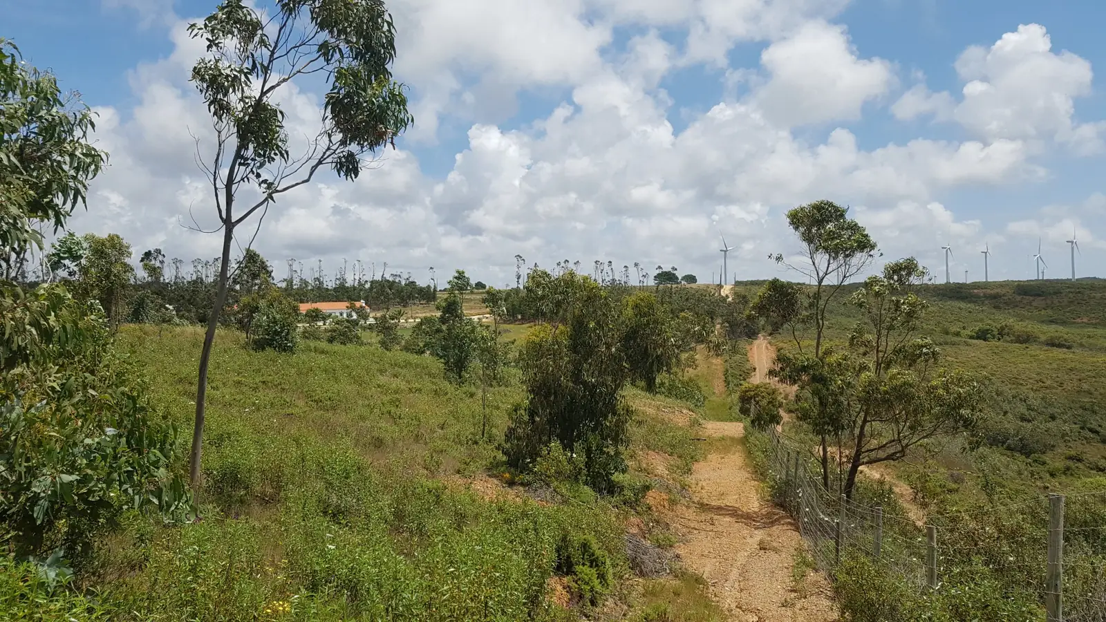
Around Monte Loureiro
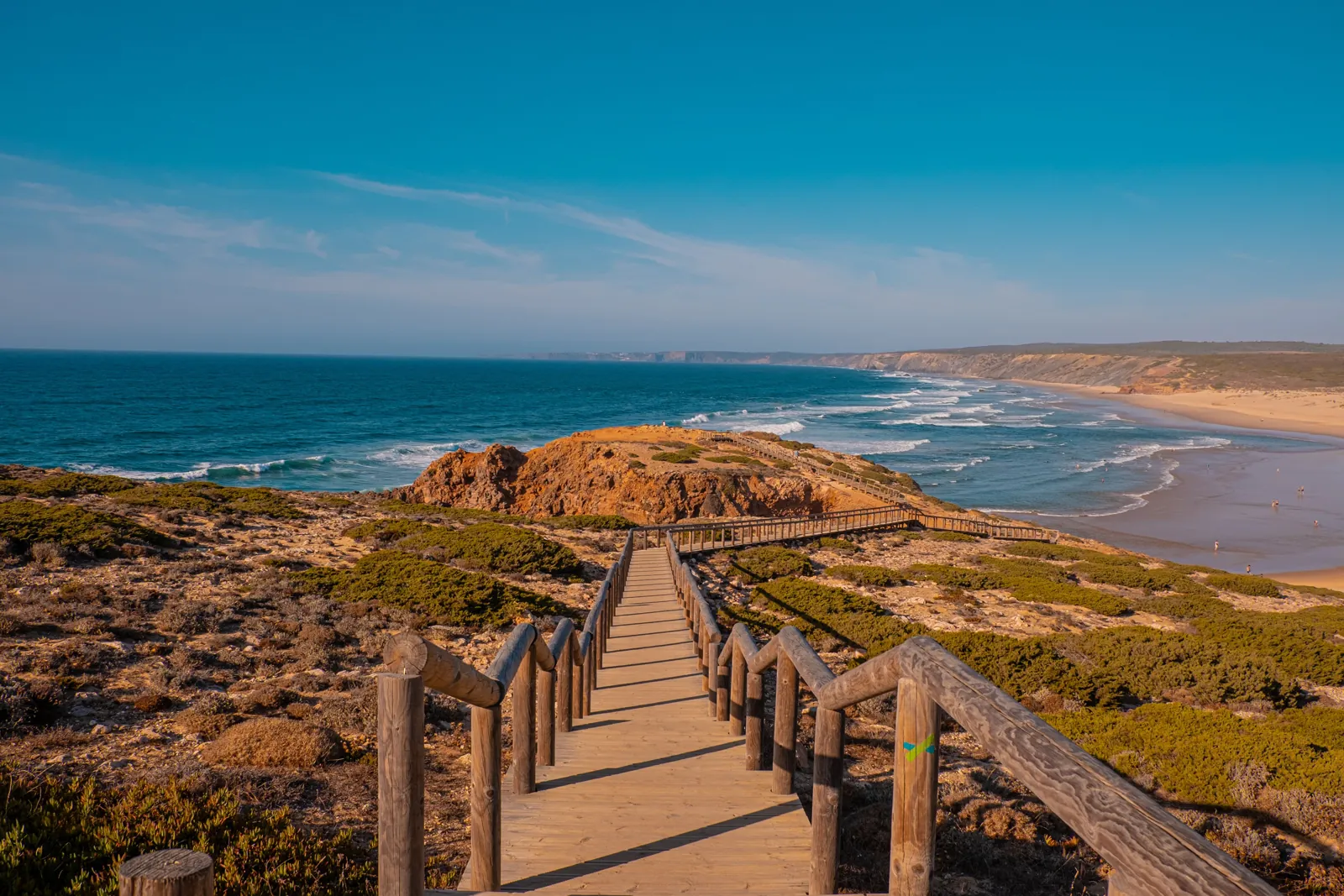
Fishermen's Trail
Four stages right on our doorstep – with our tips.
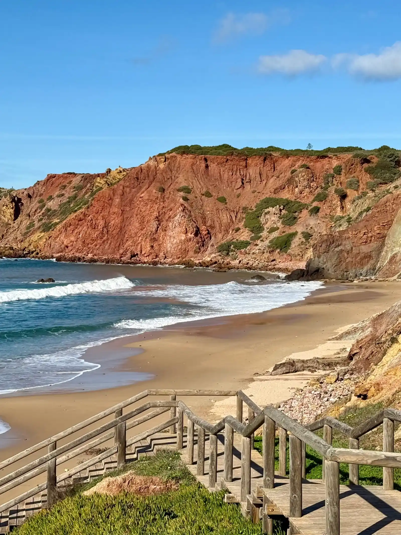
Beaches
Wide Atlantic beaches to the west, sheltered bays to the south.
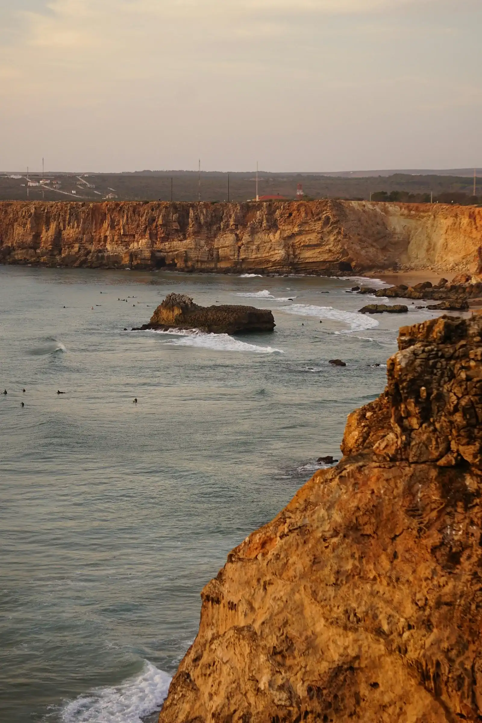
Surfing
Which beach for which swell – with surf schools.
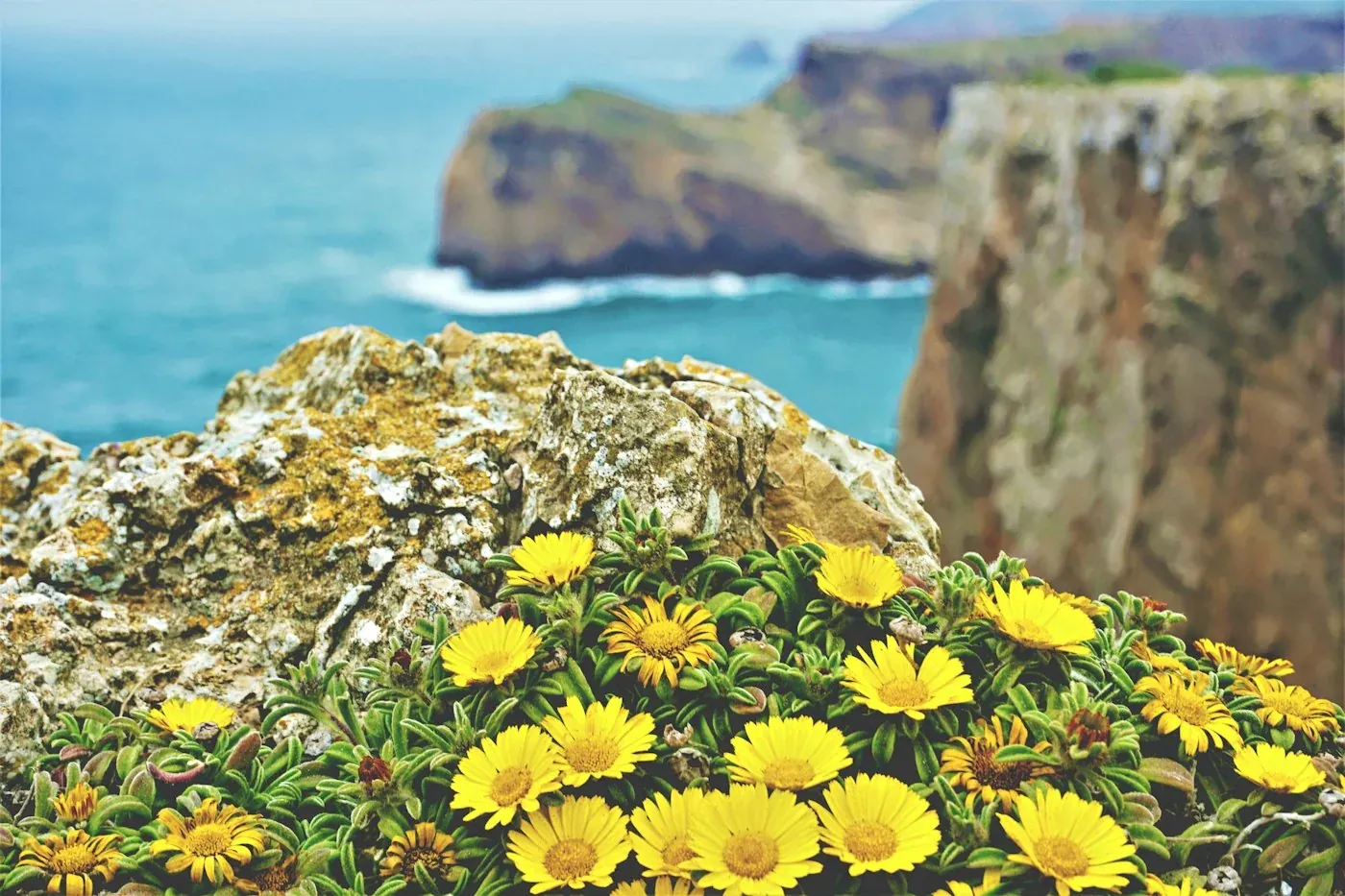
Viewpoints
Cliffs, a lighthouse and wide views over the Atlantic.
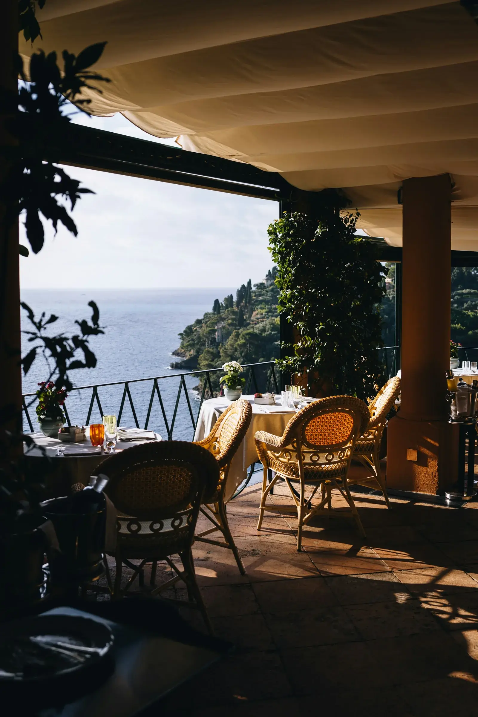
Where to eat
Our favourite restaurants from Raposeira to Salema.
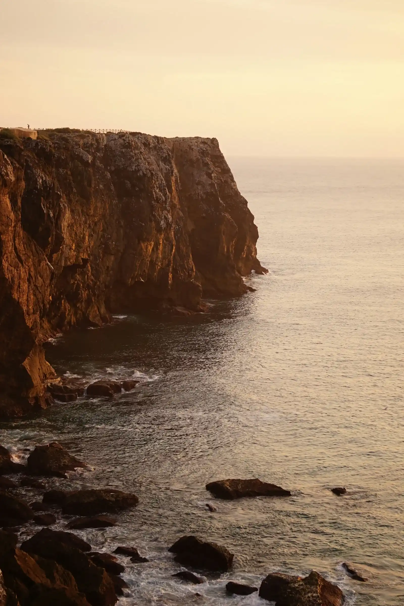
Interactive map
Everything at a glance: stages, beaches, restaurants.
Tap the buttons to switch layers on and off.
- Monte Loureiro: Our guesthouse – a quiet spot between Vila do Bispo and Raposeira, with pool, barbecue area and shared kitchen. The Gravel & Bikepacking route passes right by the house. For surfers: board storage, drying area and an outdoor sink.
- Carrapateira: Start of the stage to Vila do Bispo.
- Vila do Bispo: Supermarkets and a laundrette. Restaurants: Pisco, Ribeira do Poço, A Eira do Mel.
- Sagres: End of the stage from Vila do Bispo, start towards Salema. Grilled fish: A Sereia above the fish auction at Baleeira harbour, or Retiro do Pescador. Back by Uber.
- Salema: Fishing village between two stages.
- Praia da Luz: End of the stage from Salema. Getting back: pre-book a taxi, bus via Espiche or Lagos, or Uber.
- Bordeira: Small village inland from Praia da Bordeira, quiet and unspoilt.
- Raposeira: Raposeira village.
- Burgau: Fishing village with a beach, cafés and restaurants.
- Budens: Budens village.
- Praia da Bordeira: Our favourite beach – the dunes in front of Praia da Bordeira.
- Praia do Amado: Surf schools, a beach bar and a café – good for a break and water.
- Praia da Ingrina: In winter, check opening beforehand.
- Praia do Zavial: Loose stones on the way down.
- Boca do Rio: Open bay with the ruins of Forte de Almádena. After rain, water can stand at the stream mouth.
- Praia de Burgau:
- Cabo de São Vicente: The far southwest corner of Europe – on the Vila do Bispo – Sagres stage. The classic, at the lighthouse, with a wide view over the Atlantic.
- Carrapateira – Vila do Bispo: 16 km · approx. 6.5 h · difficult. West coast with Praia do Amado and steep climbs along the cliffs.
- Vila do Bispo – Sagres: 20.5 km · approx. 7 h · medium. Our pick for a full walking day – via Cabo de São Vicente.
- Sagres – Salema: 19.5 km · approx. 8 h · very difficult. The hardest stage in the area: down into the coves and back up, again and again.
- Salema – Luz: 12 km · approx. 5 h · medium. Our pick for a shorter day – with Boca do Rio and a break in Burgau.
- Gravel & Bikepacking – Rota Vicentina: The official Rota Vicentina cycling route (gravel & bikepacking). It passes right by our house and ends at Cabo de São Vicente. Some sections are soft sand.
1 Carrapateira – Vila do Bispo · 2 Vila do Bispo – Sagres · 3 Sagres – Salema · 4 Salema – Luz
Numbers = stages in walking direction towards Lagos
Hover over the map or tap a point for more information.
Updated: October 2026